Community Atlas of the Urracá District, Panama

Immediately to the east of the Comarca Ngäbé-Buglé in eastern Panama, along the piedmont and coastal areas of the central Atlantic slope, is a zone of Ngäbé and Buglé settlement known locally as the District of Urracá. Claimed as part of the Comarca by indigenous authorities, the region was excluded by the Panamanian government when the boundaries were formalized in 1997.
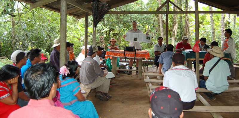
Without the benefit of formal indigenous title, the communities of the region currently face the challenges of mining development, state-driven biological conservation, and the titling of community lands by outsiders and real estate speculators. A team of Ngäbé and Buglé representatives and McGill researchers have produced a thematic atlas of Urracá. It will be used as a tool for local education and decision-making across the dozens of communities of the region. The production of the atlas was followed by projects in community-based videography and history.
Project leader: Daviken Studnicki-Gizbert
Associated Research Themes: Community Mapping; Customary Tenure; Life Projects; Visual Methodologies
Program Affiliation: INSTEAD